“… we passed a large rock, which on account of its harbouring bees, has obtained the name Honingklip…”
There are two historic Heuningklip sites in the Western Cape – one near :Herbertsdale (inland from Mossel Bay) and the other along the coast near Kleinmond in the Overberg. Whenever ‘Heuning’ (‘honey’) is used as a name for various landmarks, it invariably indicates that wild honeybee colonies inhabit the site. They are usually found in deep inaccessible recesses in the rock, and are a permanent presence from year to year. However, names such as ‘Heuningvlei’ indicate good pasturage for domestic stock.
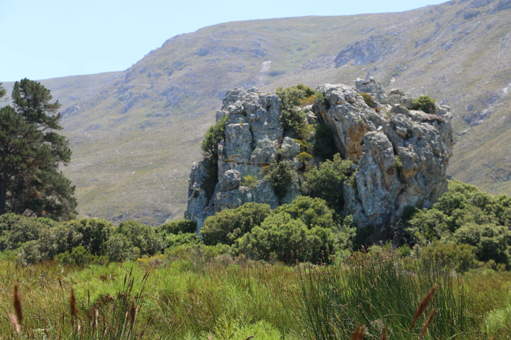
Kleinmond Heuningklip.
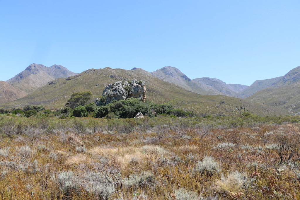
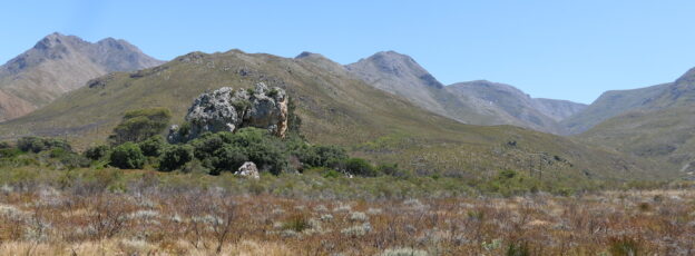
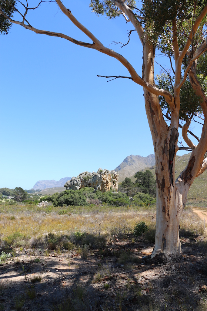
There are almost no historical records about the Heuningklip near Kleinmond and this is probably because it was not on a major route travelled by the early pioneers. Nor was there a spring nearby to further enhance its attraction as an outspan venue, typically a place to unharness the oxen from the wagons and camp, although the nearby Isaacs stream flows from the mountains to the sea. Yet, from its position as an isolated chunk of broken granite, it remains an easily identifiable landmark [Fig. 1] and its name has remained as a feature on maps for hundreds of years. The Hottentot Chainouqua clan that originally occupied the Overberg was no doubt familiar with the presence of the nests in the rocks and possibly had raided them from time to time. The Witteberg peak (499m) of the Perdeberg Mountains lies immediately to the north of the valley in which the isolated Heuningklip occurs [Fig. 2]. On the western border of Kleinmond is the mouth of the Palmiet River (Houtema = ‘snake river’) which was not easily forded in the days of ox wagons. Today the Heuningklip remains in private hands and is not accessible to the general public.
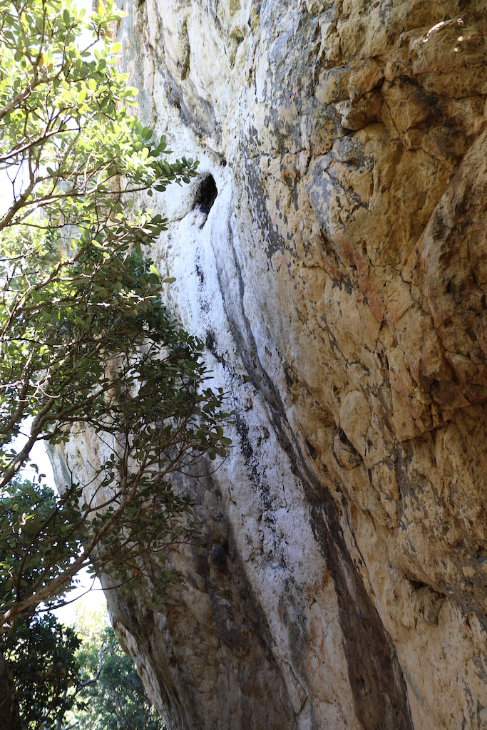
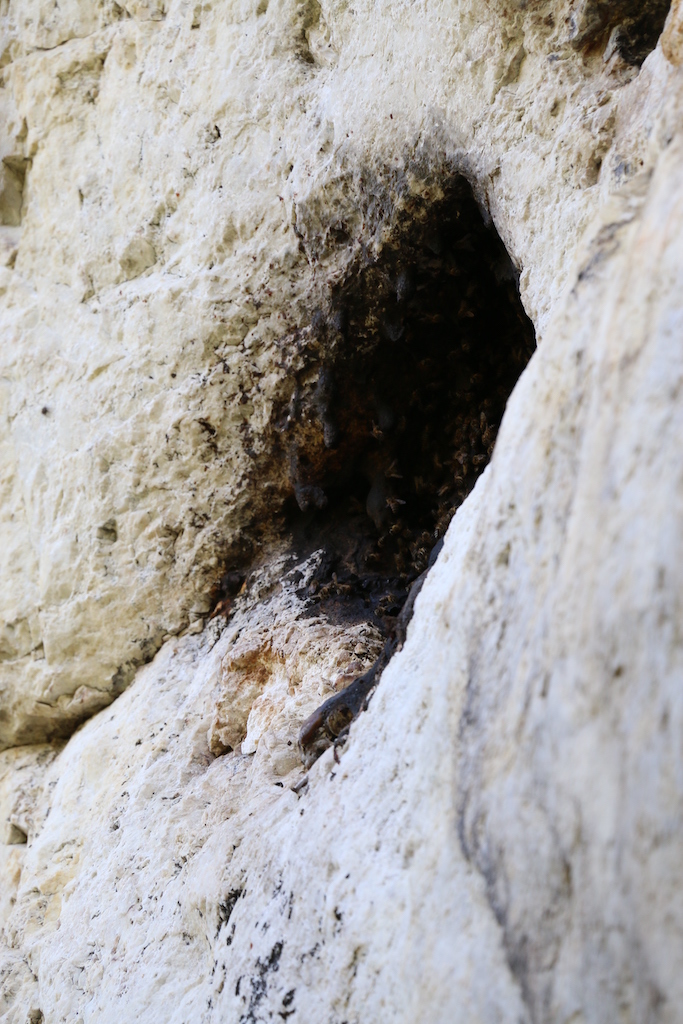
About 5km to the west is the Harold Porter Botanic Garden where a honeybee colony has been present from at least before 1980 until today – 45 years later. The exposed colony is high up under a small ledge on a smooth rock face opposite the waterfall [Fig.3a+b] but in an adjacent property. Here it is in an almost continuous shadow, dark and damp most of the year and the colony waxes and wanes to some extent but never appears to get any larger.
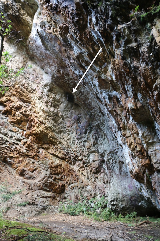
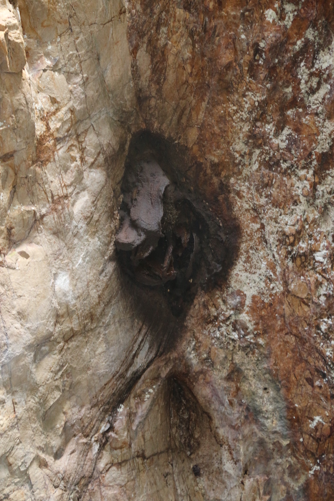
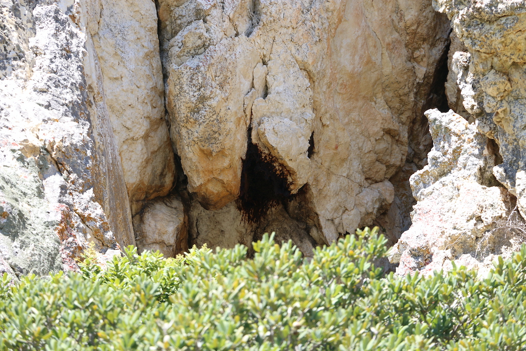
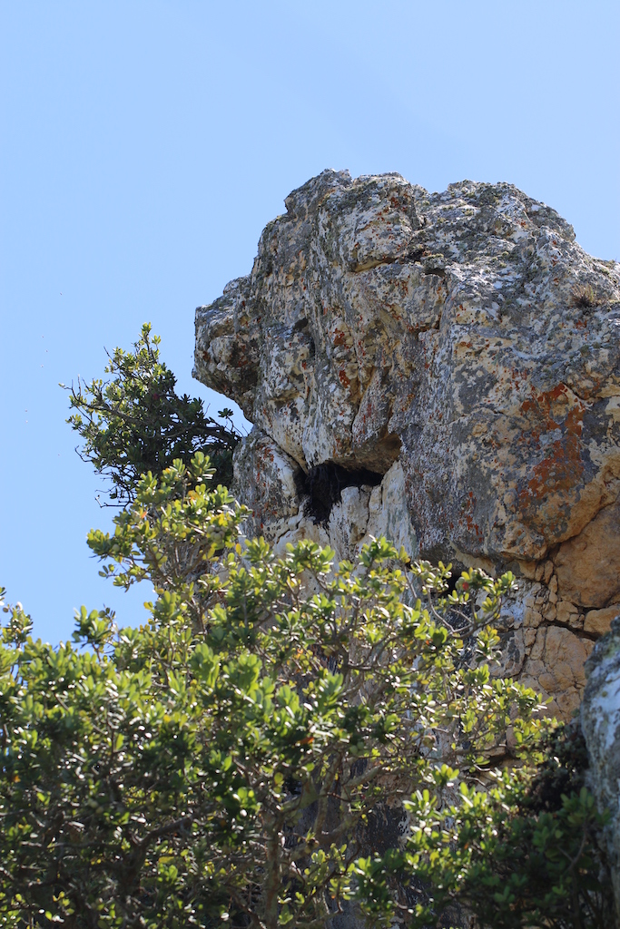
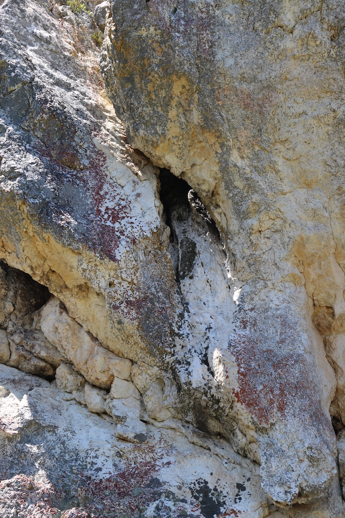
Four honeybee colonies were found in the crevices and cavities in the rocks that comprise the Heuningklip [Figs 4+5]. All the entrances to the nests were fully covered with propolis, leaving holes through which the foragers had access to the interior. Several beehives had been placed at the foot of the Heuningklip.
Indigenous vegetation
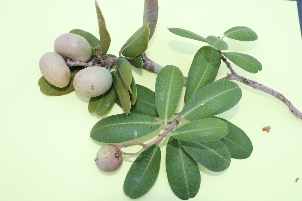
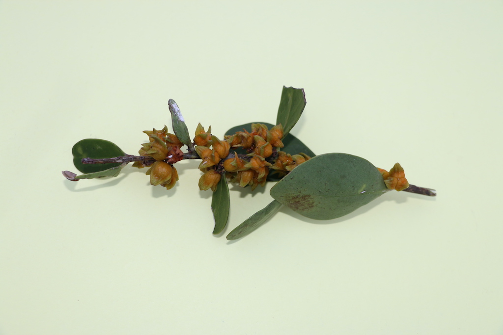
Some indigenous vegetation still remains; the oldest and largest trees were :Heeria argentea [Fig.7]. Also present were Pterocelastris tricuspidatus trees [Fig. 8], a cabbage tree Cussonia spicata and two clumps of the succulent Cotyledon orbiculata, (pigs’ ears) amongst other vegetation.
Herbertsdale Heuningklip.
This historical site, also recorded by the botanist Carl Peter Thunberg in 1794 when he camped there and described the area, was then on the main wagon road from Knysna [‘place of ferns’] to Cape Town. Besides the regular wagon traffic of goods needed by the early pioneers, sawn timber was transported from the indigenous forests of the Tsitsikamma [‘place where the water begins’] to Cape Town. The need for timber was critical because the forests around the Cape Peninsula such as those at Houtbaai [‘Wood bay’] and Rondebosch [‘circular thicket’] had quickly been felled from the earliest settlement in 1652. By 1811 there was little or no wood near Cape Town and slave-labour was required to walk 10 to 12 miles in order to carry home a couple of bundles of firewood borne on the ends of a piece of bamboo laid across their shoulders. Once the forests around Table Mountain had been exhausted new sources of timber had to be found, especially for wagon making. From about 1787 the forests along the Rivier Zonderend [‘Kannakamkanna’] mountains were exploited, followed by those of Swellendam and Grootvadersbosch. Next to be plundered were those of the Outeniquas and Tsitsikamma. Already by 1776 a woodcutter’s post had been established at the Swartrivier near the present day town of George where Commandant Mulder in charge of 16 men cut and transported timber for the Dutch East India Company. Herbertsdale (34° 01’S 21° 46’E) is situated east of the Gourits River [named after the Gouriquas or ‘cattle people’] in the Langtou Valley 56km north-west of Mossel Bay on the farm Hemelsrood.
The Nouga [‘blue stone/ground’, from !noa , ‘blue’ and !ga, ‘back/ridge’] River which flows southwards from the northern boundary of Gondwana Private Game Reserve through the farm ‘Nauga’ enters the Gouritz River at Outeniquas Drift. Thunberg gave the location of the Heuningklip as 10km east of Outeniquasdrift and Helsdrif [from ‘helling’ = steep descent] on the Gourits River. He recorded that:
“… we passed a large rock, which on account of its harbouring bees, has obtained the name Honingklip and reached a farmhouse, situated near the Attaquas Kloof [Hottentot tribe location in the 17th century]”.
A small river also called the Heuningklip flowed at its foot. Thunberg found wild olive trees growing at the Heuningklipkloof that were large enough for the making of chairs but the area at the time of his visit was dry and unattractive.
Searching for Heuningklip
On the Herbertsdale map [3421BB: 1:50 000] there are three farms named Heuningklip along the Heuningklip Road and a Honigklips Kloof to the north of Gondwana Private Nature Reserve. Several attempts were made to locate this site along the Heuningklip Road, especially by calculating the distance of 10km from the Gouritz River and from that of an old milestone distance marker still in situ. With the aid of Jannie Leonard, the owner of the farm Honigklipkloof, the area opposite his farm house was scoured. There was the Heuningklip River, the kloof [ravine] with an additional spring, and furrows moulded out of natural clay that led the water from the mountainside to a pool from which the water flowed through a pipe under the Heuningklip Road to a dam beside the farmhouse. But the entire face of the outcrop was of loose conglomerate which afforded no cavities at all – and therefore no possibility of the presence of honeybee nests.
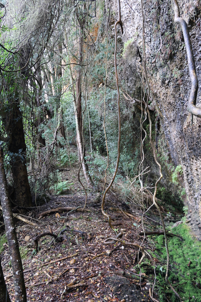
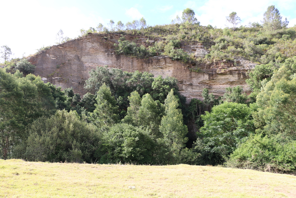
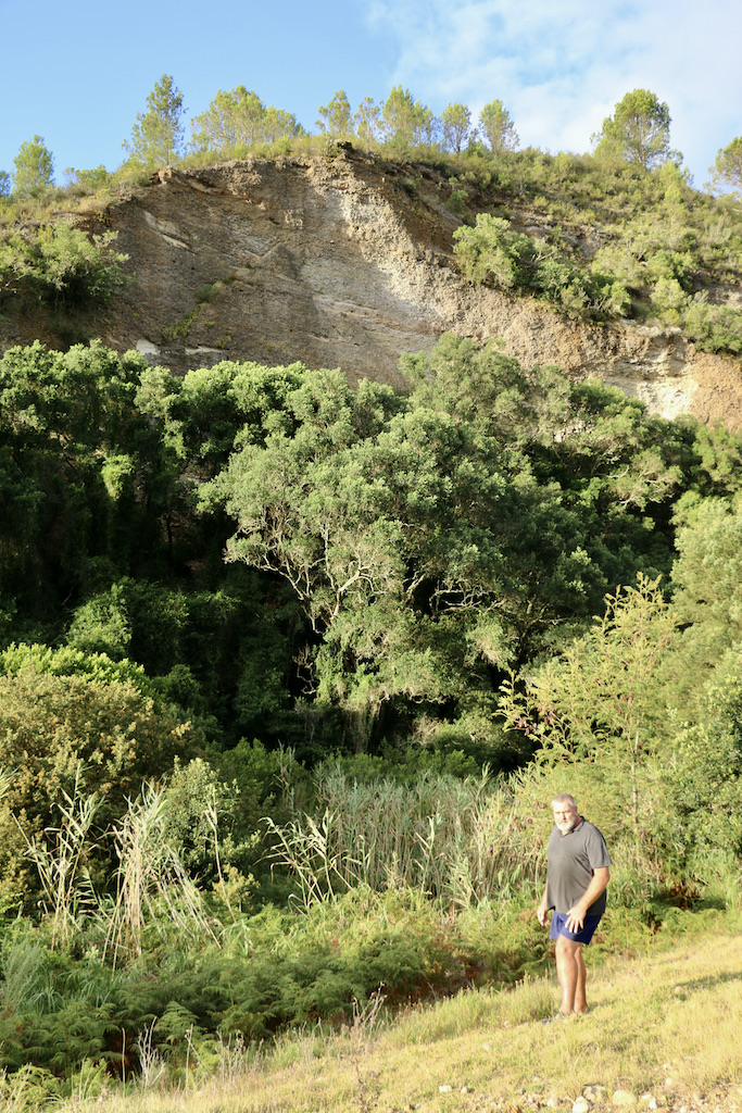
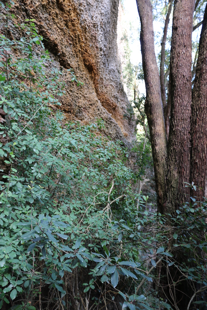
During a later visit to the area, it was decided to take the early pioneers’ description verbatim and to look for an outcrop that could possibly be described as a ‘large stone’ or klip. This led to the discovery further on, opposite the entrance gates to the farm “Elandsdans”, approximately 100m in from the Heuningklip Road of what could be appropriated as a huge ‘stone’ [Fig. 1] which was covered for the most part by large trees growing at its base [Fig.2]. This was at the historic milestone marking the 7-mile distance on the Heuningklip Road.
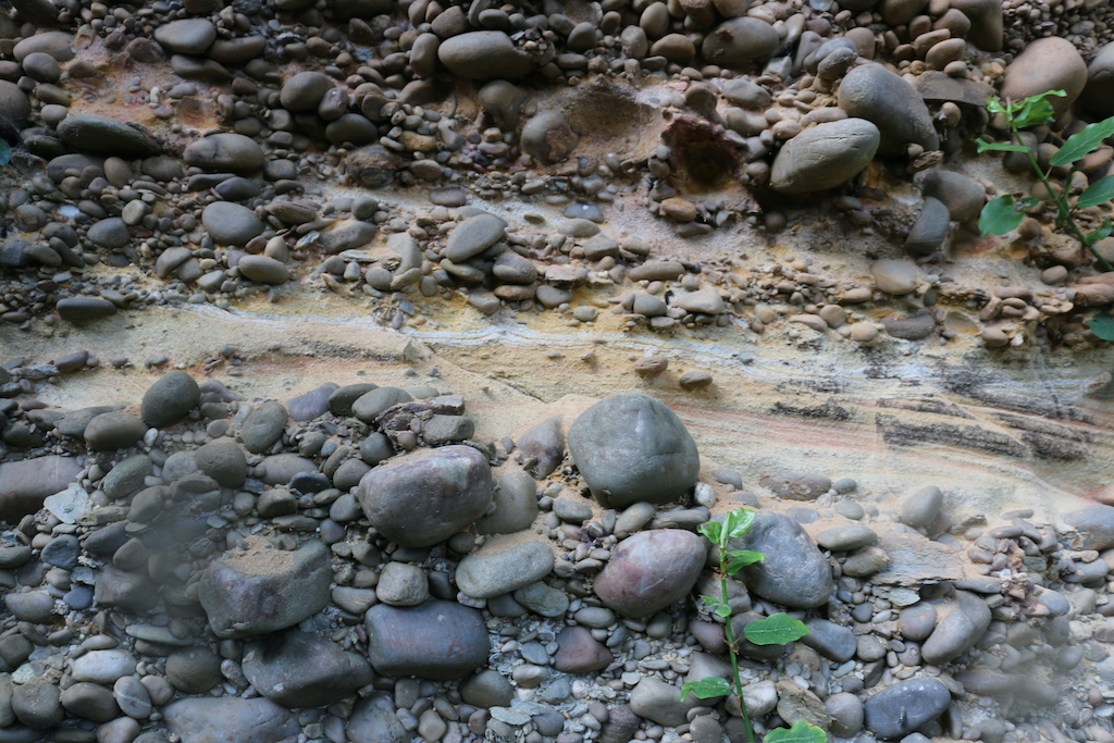
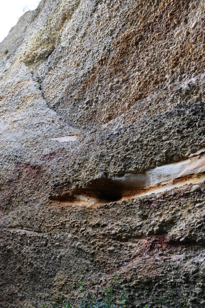
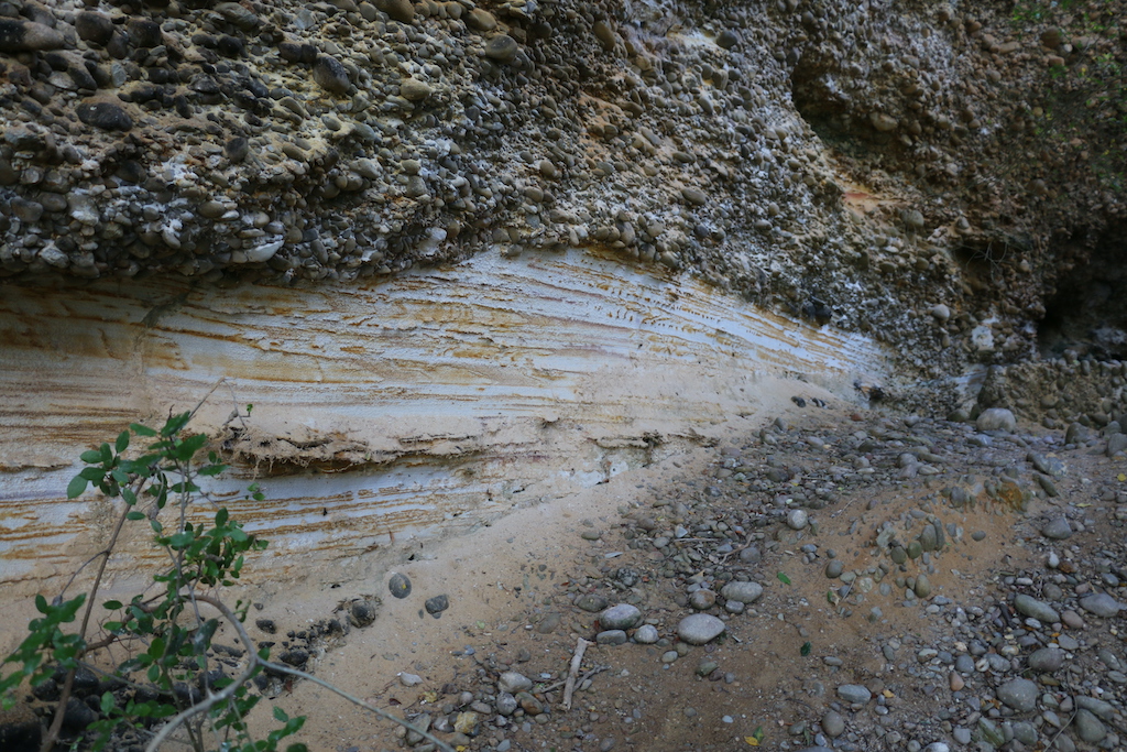
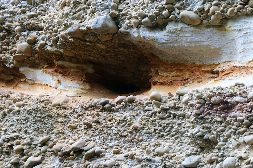
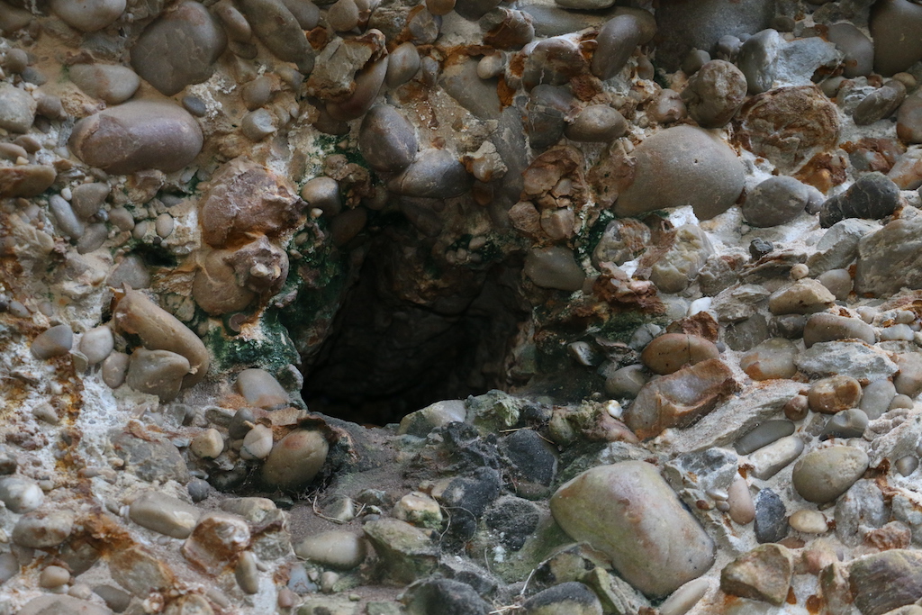
With permission to access the property from the owner of Elandsdans, Jannie Leonard of the adjacent farm, ‘Honigklipkloof’, joined me to reconnoitre the area. The huge mound that was the historic Heuningklip was again comprised of loose conglomerate [Fig. 3], half of which over the aeons had been sheared off by the Heuningklip River at its base through which we ‘waded’ to reach the cliff itself. What was different here was that there were horizontal bands of yellowish, powdery sandstone laid down in layers at intervals [Fig. 4]. It appeared that in the long past, that stones brought down by an ancient river were deposited in a wide area [about 17 kilometres long] stretching from the Du Plessis Pass (where the :Aloe ferox covered hill is composed of conglomerate) to the end of the Heuningklip Road. This appears to have been followed by a deposit of a layer of sandstone which varied from 15 to 45cm in width [gemaFig. 5] and then another layer of conglomerate on top of that deposited over many years. Conglomerate is a sedimentary rock deposited either by fast-flowing rivers or wave action and the sand and pebbles are held together [cemented] by silica, calcite or iron oxide. It was within this sandstone that several cavities suitable for bees to nest were found –but no bees [Fig. 6].
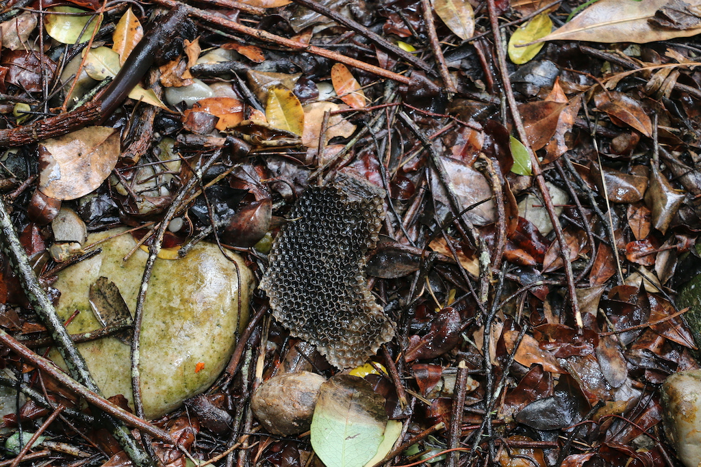
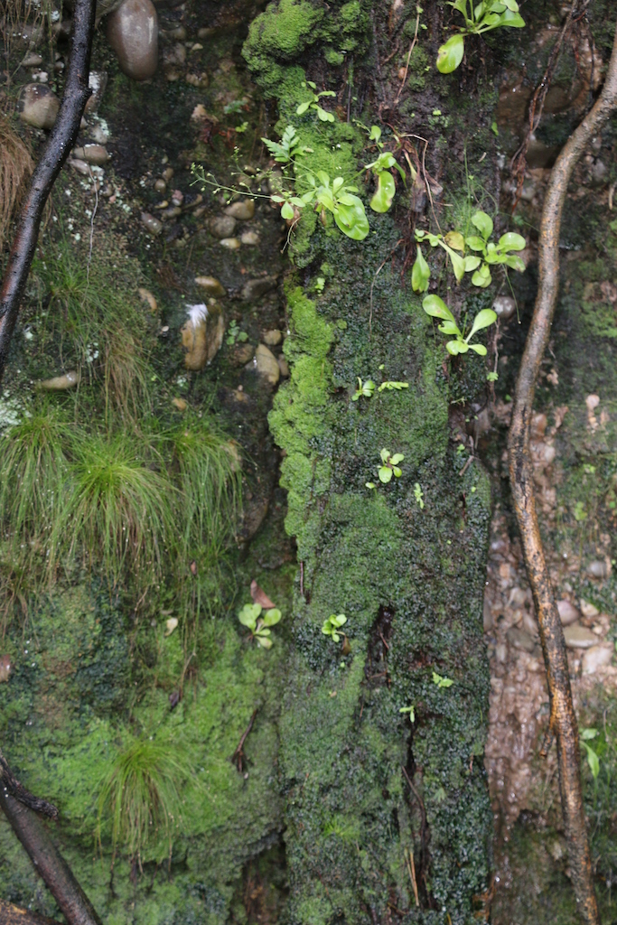
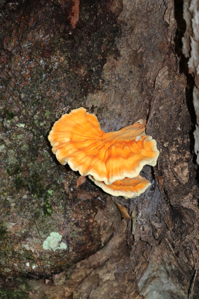
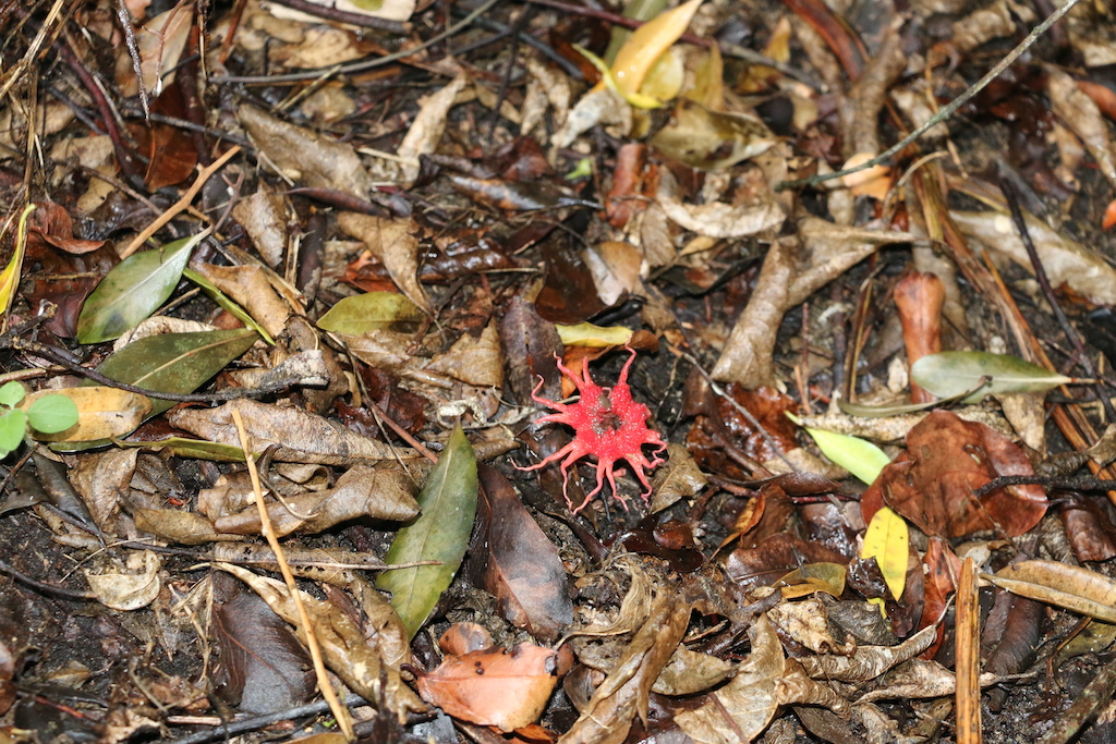
All the cavities were dank and wet, some with their entrances covered in black mould [Fig. 7]. In places there was a continual drip from the top of the ‘mound’. One piece of discarded honeycomb was discovered at the base of the cliff [Fig. 8] but it was not possible to discover from whence it had been extracted. Baboon droppings were found in several places but honey gathering by labourers cannot be discounted either. The last two years had been exceedingly wet and the huge indigenous trees, such as the wild olive (Olea europaea africana), growing at the base of the cliff and placing the cliff face in shadow, were possibly well over 100 years old [Fig. 9]. Kystervaring (Gleichenia polypodioides) grew on the floor below the cliff and fungi adhered to the trunks of trees [Fig. 10a+b] while stinkhorn mushrooms (Aseroë rubra) ‘sprouted’ from the moist earth [Fig. 11].
This site fits all the criteria of the “Heuningklip” as described by Thunberg who acknowledged that this name was much older than when he recorded it in 1794. In the region are several rock art sites, of which two are reported to have depictions of honeybees but they are well guarded and no photographs are allowed. It is feasible that some of these paintings depict the nearby Heuningklip bees.
Caught in the headlights on the return journey to Herbertsdale were three magnificent bushbucks (Tragelaphus scriptus). This area is an ideal habitat for them as the appropriately named farms ‘Grootbosch’, ‘Buffelskloof’ and ‘Renosterbos’ attest. The Gondwana Private Nature Reserve is adjacent to the Heuningklip site and has been restocked with animal species which in the past had been hunted to local extinction.
Blocks

Rockwood
The Rockwood (Kliphout) tree, Heeria argentea (previously Rhus thunbergii) was the dominant tree species encircling the Heuningklip. It is a monotypic species in which this is the only species in this genus and belongs to the mango family Anacardiaceae. It has a corky bark which can withstand fires, and thus rocky outcrops represent fire refugia for the tree. It is endemic to the Western Cape and occurs amongst rocks and boulders on dry arid mountain slopes from Kleinmond into the Cederberg Mountains. The fruit is dispersed by the Namaqua rock mouse (Aethomys namaquensis) which hides the fruits in rock cracks after eating the outer layer, allowing the seeds to germinate. Its species name refers to the leaves which are dark green above with fine, silvery-white hairs below. Although not on the threatened species list, the tree has been widely used in the past for fire-wood, tannin from its bark, and was especially valuable for wagon brake-blocks, as was that also of the waboom, Protea nitida. The fruits are reported to be consumed by dassies (Rock Hyraxes).
Aloe ferox
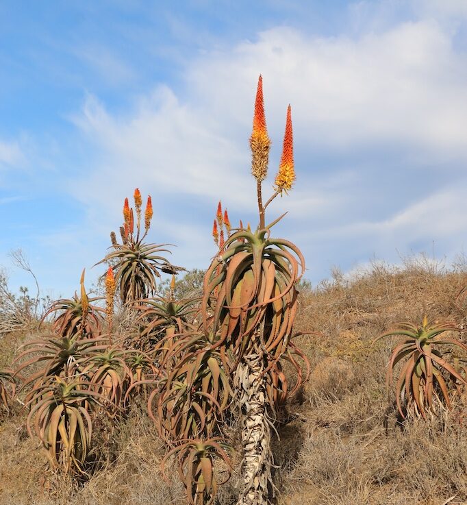
William Burchell, an English explorer, naturalist, traveller, artist, and author, recounting in 1814 in his field journals from his South African expedition, notes that not even a bridle path existed through the Tsitsikamma forest to Plettenberg Bay – Burchell’s map indicating that his route led past the ‘Honigklip’ from Mossel Bay and where they crossed the Gouritz River at Outeniqua Drift. The predominance of Aloe ferox covering the hills between Duiwehoks River at Heidelberg eastwards over a distance of 65 km was already being tapped for ‘aloe gum’. This aloe is of course a great source of nectar and pollen for the honeybees during winter. The pollen and nectar produced by Aloe ferox would have been able to sustain a considerable population of honeybee colonies.
Additional historical information on the Gouritz River
Honeybees appear in the historical record of the Gouritz River in a most bizarre way. This concerns the last man to be publicly hanged on the town square of George in the southern Cape on 28 April 1856. We know that the cliff faces along the Gouritz River were long recorded as harbouring honeybee colonies due to the notorious criminal Bloubaard Swanepoel , a stock farmer at Rietfontein in Attaquaskloof. He would employ labourers to rob honey from the honeybee colonies found on the cliff faces of the Gouritz River. After stealing their honey he would push them off the cliff into a maalgat (whirlpool) in the Gouritz River below where their bodies were never found. However, he was only convicted for the murders of several persons who had bought cattle from him and whom he followed on their return journeys to kill them and then return home with ‘his’ cattle.
Historically, the first official expedition to the Gouritz River was by Ensign Hieronymus Cruse [Croese] who traded for cattle and sheep with the Hessequa near Swellendam and the Gouriquas near Mossel Bay in 1666. He again came by sea to Mossel Bay in 1667 without wagons. The following year Cruse travelled by sea to Mossel Bay where he landed and made another extensive trading tour along the coast back to Cape Town, but on neither of these trips were wagons used.
An expedition led by Ensign Isaacq Schrijver consisting of 27 men and several Khoi guides with two wagons loaded with supplies and goods to barter departed the Cape on 4 January 1689. They were to make contact with the Inquas who lived beyond the Attaquas near the present day town of Aberdeen and who had sent an emissary to the Castle to see the Commandant Simon van der Stel. Both the Outeniqua and Inquas were recorded as growers of ‘dagga’ [Khoi dachab – Cannabis sativa]. The Hessequa kraal under the chief Goukou was visited on the banks of the Goukou River and following along the base of the Langeberg, Schrijver reached the Gouritz River on 22 January. From here he turned inland, and with the aid of a Gouriqua guide, they followed an elephant pass that led them through the Attaqua Kloof. The region was covered in dense brushwood which had to be cut and burned to make a path for the wagons. Eventually they entered the Little Karoo; traversing the Kammanassie [‘washing water/river’] Mountains they entered the Great Karoo. Burchell recounted in 1814 that not even a bridle path existed through the Tsitsikamma forest to Plettenberg Bay. But by then the wagon trail pioneered by Isaacq Schrijver was well developed.
The author:
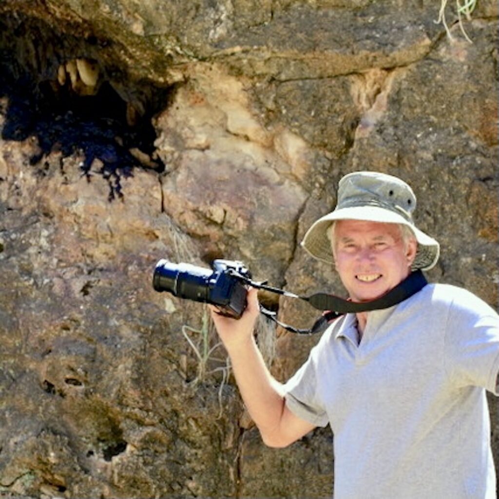
Dr Geoff Tribe is a Specialist Researcher – Entomology, Plant Protection Research Institute (retired), has done research on dung beetles, honeybees, solitary bees, forest entomology, slugs & isopods.
Acknowledgement:
James & Noeleen Wessels of Honeystone Cottages, Kleinmond, and Jannie & Amelia Leonard of Heuningklipkloof, Herbertsdale, are thanked for their assistance in accessing the historic Heuningklip sites and for their hospitality.
References:
Binckes, R. (2013). The Great Trek uncut. 30° South Publishers + Helion & Company, 560 pgs.
Burman, J. (1988). Towards the far Horizon. Human & Rousseau, 168 pgs.
Du Preez, F.M. (n.d.) A History of Bees and Beekeeping in South Africa. Self-published, 201pgs.
Loos, J. (2004). Echoes of Slavery. David Philip, 168 pgs.
Nienaber, G.S. and Raper, P.E. (1983). Hottentot (Khoekhoen) Place Names. Butterworths, 243 pgs.
Raper, P.E. (1989). South African Place Names. Jonathan Ball Publishers, 421 pgs.
Ross, G. (2002). The Romance of Cape Mountain Passes. David Philip,224 pgs.
Schoeman, K. (2011). Cape Lives of the Eighteenth Century: Outeniqualand (1768-1794). Protea Book House, 676 pgs.
Skead, C.J. (2011). Historical incidence of the larger land mammals in the broader Western and Northern Cape. Second edition (eds: Boshoff AF, Kerley GIH and Lloyd PH). Nelson Mandela Metropolitan University, 519 pgs.
Stewart R. and Whitehead, M. (2022). Burchell’s African Odyssey; revealing the return journey 1812-1815. Struik Nature, 248 pgs.
White, J.D.M. and Midgley, J. (2017). Dispersal of semi-fleshy fruits to rock crevices by a rock-restricted rodent. South African Journal of Science 113:11-12. dx.doi.org/10.17159/sajs.2017/20170159
